Maps and views from above.
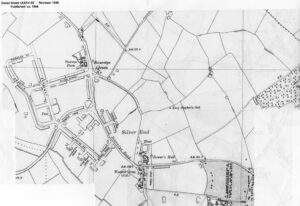
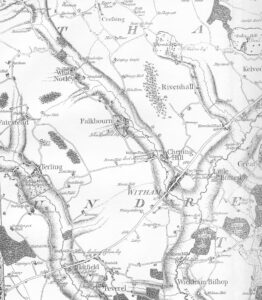
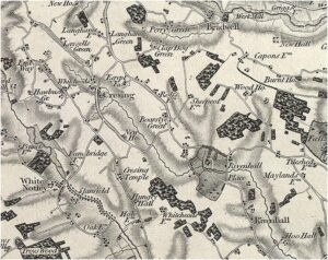
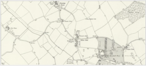
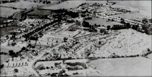
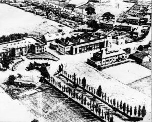
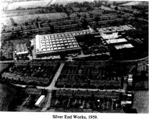
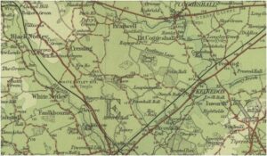
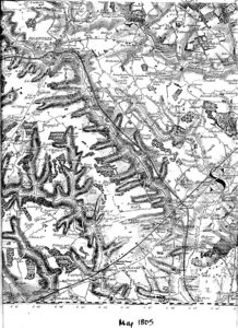
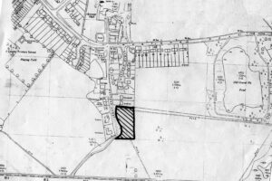
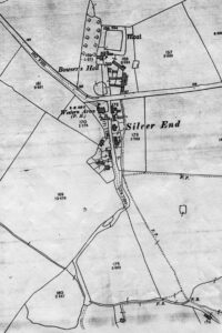
Silver End, the village today has only existed since 1926 but before Henry Francis Crittall built the village for his factory workers, the area was part of Rivenhall. There are maps going back three centuries that show the layout of the area.
Beware though, as early maps were not always accurate.
Ordnance Survey maps are out of copyright fifty years after publication.
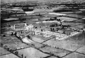
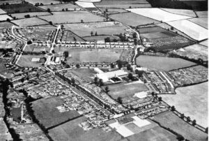
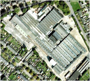
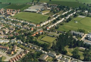
In more recent times, first aeroplanes and, more recently, drones, have added to the picture with photographs of the area taken from above.
To see the full set of images, you need to join the society. The membership form can be found at the bottom of the page, Member benefits.